- Home
- tabitabi - Travel blog for Japan
- Omine Okugake Pilgrimage Trail – First day from Yoshino to Mt.Sanjo-ga-take 1719m
BLOG
10.232017
Omine Okugake Pilgrimage Trail – First day from Yoshino to Mt.Sanjo-ga-take 1719m

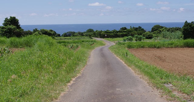
Omine Okugake Trail Map

Kintetsu Yoshino station - starting point

Kinpusenji Temple in Yoshino is one of the most important temple for Shugendo (World Heritage)
")
Traditional Japnese Pharmacy - they sell medison for the digestion. I am not sure why giant frogs welcome customers ?

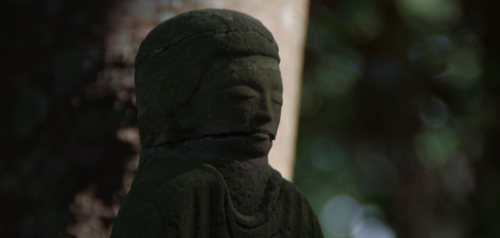
Jizo-san, You will meet JIZO statues often along the trail. This is a guardian deity in the folk belief of the Japanese.

Misty forest in the rain

Beautilful scnen Sunlight streaming through the forest

After 13 hours hiking in the rain from Yoshino, I arrived at Sakuramoto-bo Temple lodging at Mt.Sanjogadake 1700m above sea level.

関連記事
-
-
2016.6.12
World Heritage “Kumano Kodo”
-
2015.2.26
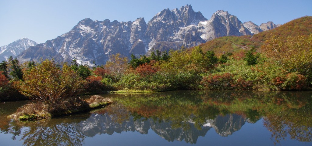
Mount Tsurugi in Toyama
-
コメント
この記事へのトラックバックはありません。
この記事へのコメントはありません。